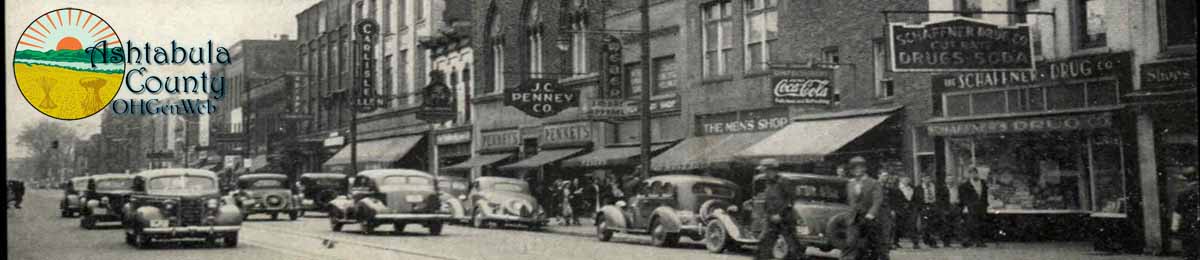
Welcome to Ashtabula County OhGenWeb
Ashtabula County OHGenWeb is a free genealogical and historical collection of information provided by volunteers. We hope you find helpful clues for your research of ancestors and relatives of Ashtabula county.
Celebrating our 25th anniversary
The OhGenWeb Project was created in 1996, and this Ashtabula County site has played it’s part since the beginning!
-
What’s New at Ashtabula County OHGenWeb since your last visit
Please Note
We are completely rebuilding the website and making it responsive to tablets and phones! Some of the pages and links may not be available during the rework.
Short About
This Ashtabula County site is a proud part of the OHGenWeb and The USGenWeb Project. To learn more see our About us page. If Ashtabula County is not the County you are looking for, check the OHGenWeb County Selection Page.
Ashtabula Facts
Ashtabula County formed on February 10, 1807. It was the first county created in the Western Reserve. The county is named for an Indian word for fish. In 1796, Moses Cleaveland traveled through Ashtabula County on his way to establish the city of Cleveland for the Connecticut Land Company. Five of Cleaveland’s traveling companions, James Kingsbury and his wife and three children, remained behind in what would become Ashtabula County. Mrs. Kingsbury gave birth to the first known white child in the Connecticut Western Reserve during the winter of 1796-1797.
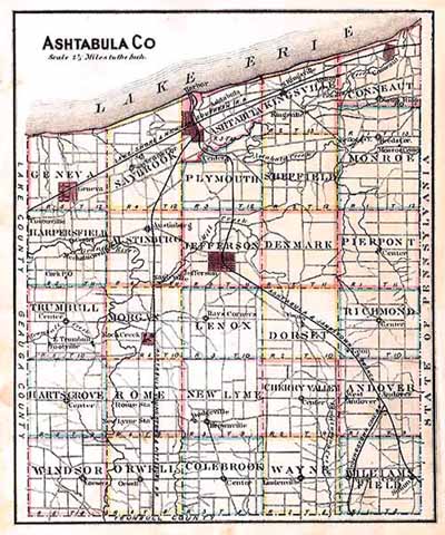
This county is memorable from being not only the first settled on the Western Reserve, but the earliest in the whole of Northern Ohio. The incidents connected with its early history, although unmarked by scenes of military adventure, are of an interesting nature.Ashtabula County is the largest county by area in the state of Ohio. According to the U.S. Census Bureau, the county has a total area of 1,368 square miles (3,544 km).702 square miles (1,819 km) of it is land and 666 square miles (1,725 km) of it (48.67%) is water.
Name: Ashtabula, is the softening of an Algonquin Indian term originally pronounced “Hush-tah-buh-lah”, which signified our Ashtabula River as “River of many fish”.
County Seat: Jefferson
Year Organized: 1807
Square Miles: 703
Our Great Neighbors
| Across Lake Erie lies Elgin and Norfolk Counties, Ontario, Canada | Erie County, Pa | |
| Lake County, Ohio | Ashtabula County, Ohio | Crawford County, Pa |
| Geauga County, Ohio | Trumbull County, Ohio | |
I am Randy Cummings, volunteer coordinator for this Ashtabula County OHGenWeb site. We hope you enjoy your visit. Please contact us if you have any suggestions or contributions you would like to make.
Copyright Notice: All files on this site are copyrighted by their creator and/or contributor. They may be linked to but may not be reproduced on another site without specific permission from their contributor.
These pages and the information provided here may be used by genealogists freely, but these pages and their content may not be copied for commercial use of any kind.
Page Updated March 2024